We help people and communities find their way.
We are an international team of cartographers, GIS Specialists, designers, data scientists, and engineers that build the technology that guides adventures and creates memories.
Decades of experience spent exploring communities and trails, and in front of a computer allow us to leverage tech to help special places share their unique stories and conserve their natural beauty.
This platform is a game-change for TREAD. It Is a community-based approach, applicable to all recreation users. It enhances a great partnership between land managers and those who recreate in those spaces.

Mat Lyons
Director TREAD
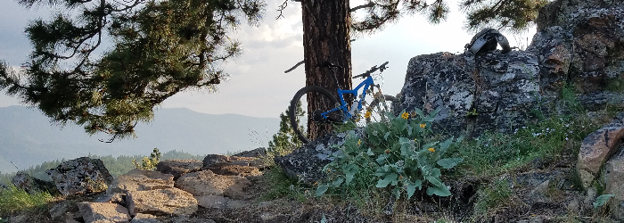
The Kettles are a space of sparsely-visited magickal zones. From whitebark pine forest to dense inland temperate rainforest, I've encountered every animal from moose to goshawks to bears in those hills. Once I realized how out-of-date the mapping data in the area were, I knew Dharma Maps and I had to create a new map in order to attract new folks to the area.
Brittany Aäe
Founder + Coach Magnetic North